What is a Watershed?
A watershed is an area of land that drains water into a common body of water, such as a lake, river, stream, bay, or the ocean. Watersheds are separated from other watersheds by hills, slopes, or other high points in the area.

New Jersey Watersheds
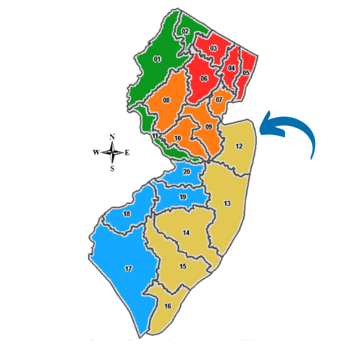
In New Jersey, there are 20 Watershed Management Areas, also known as WMAs.
Each WMA consists of watersheds that drain into a specific body of water. Land use practices and water management strategies are implemented to protect and improve the quality of the water within that area, considering the entire watershed as a single unit for management purposes.
The Northern Monmouth Area
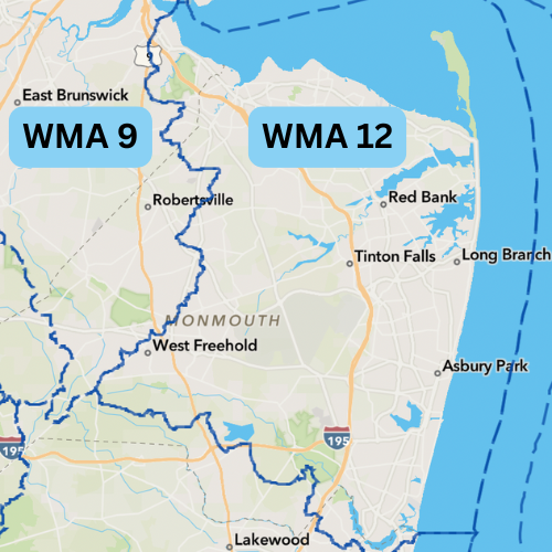
Our community consists of municipalities from WMA 12, The Monmouth Watershed Management Area, and WMA 9, The Lower Raritan, South River, and Lawrence Watershed Management Area.
Our Watersheds
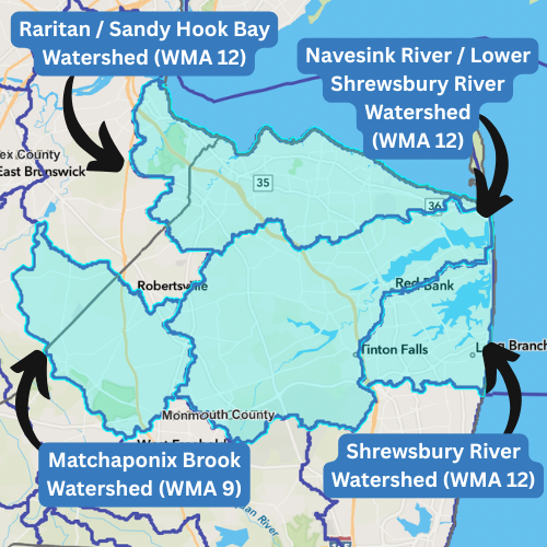
Our members represent municipalities in the Raritan / Sandy Hook Bay Tributaries Watershed (WMA 12), the Navesink River / Lower Shrewsbury River Watershed (WMA 12), the Shrewsbury River Watershed (WMA 12), and the Matchaponix Brook Watershed
(WMA 9).
Watershed Resources
NJDEP Watershed Evaluation Tool
The New Jersey Watershed Evaluation Tool (NJ-WET) can be used to view and download data that intersects with each municipality, including but not limited to:
TMDLs
HUC14s
Water Quality Impairments Related to Stormwater
Surface Water Quality Classifications
MS4 Infrastructure
Overburdened Communities
Impervious Surfaces
NJDEP GeoWeb
The NJ GeoWeb application provides users access to NJDEP GIS data on the Internet. Users can view, query and analyze the Department’s GIS data with related environmental information.
There is a QuickStart Guide available on the GeoWeb homepage.
NJDEP NJWAP
The NJ Watershed Ambassadors program was an AmeriCorps program hosted by the NJDEP. Watershed Ambassadors provide watershed education and outreach to their local communities.
To connect with your local Watershed Ambassador in the future, please email wma12.njwap@gmail.com.
COMING SOON:
WatershedNJ Web Tool
WatershedNJ is suite of online data and tools designed to support watershed education and watershed management activities. WatershedNJ tools use authoritative data to generate reports, maps, and recommendations that can be used by both members of the public and watershed experts to understand and improve the health of water bodies and watersheds across the state of New Jersey. WatershedNJ is a “one-stop-shop” for your water quality data needs.
Each WebTool of WatershedNJ will roll out in 2025/2026.
